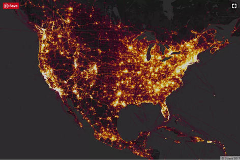
 Strava is the maker of a fitness-tracking app that uses a phone’s GPS to track when and where a user is exercising. Last November, the site released a heat map showing the activity of its users from around the world, containing information across 3 trillion latitude and longitude points. The result is a pretty image of people working out, but one analyst points out that the map makes it very easy for someone to figure out the locations of military bases and the routines of their personnel. Read here how this determination was made!
#security #techgadgets
0 Comments
Your comment will be posted after it is approved.
Leave a Reply. |
Blog AuthorI love technology and how it enhances our lives! Just think, without the Apollo moon missions, we might not have calculators! Imagine!! Archives
October 2018
Categories
All
|
 RSS Feed